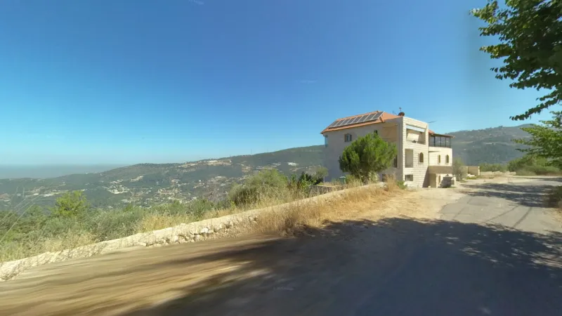
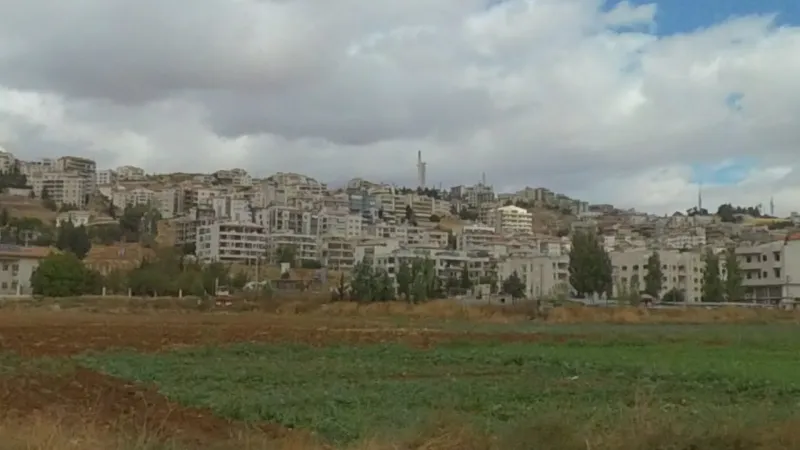
Mount Lebanon contains the bulk of coverage in Lebanon - it can be identified as being very mountainous and built-up at the same time. There are no large cities here, but the population density is high, with large buildings usually visible. These buildings have a fairly consistent and unique look, consisting mostly of large, polished villas, often made of sandstone. This area is predominantly Christian.
Consisting of Tripoli and the area north of it, the North and Akkar governorates have a hilly landscape without large mountains. Houses here are smaller, and the population is predominantly Muslim.
The area inland from Sidon (effectively the only southern region with coverage) can be identified by somewhat barren low hills with sparse developments.
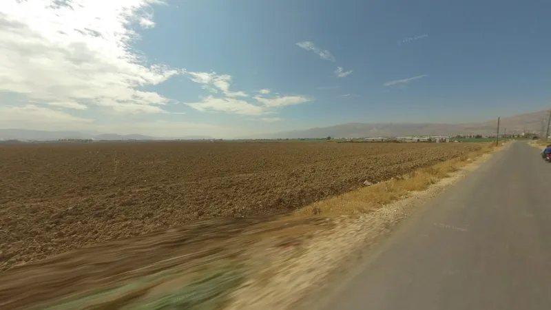
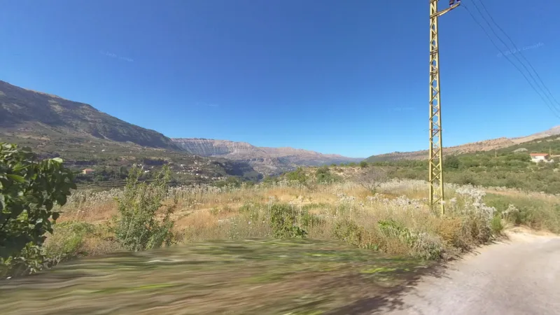
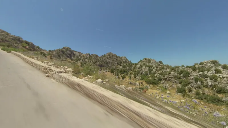
The Beqaa valley is the ONLY part of Lebanon that is dead flat. Furthermore, it is sandwiched between two taller mountain ranges - the taller Lebanon mountains west and the Anti-Lebanon that follow the Syrian border.
Cities
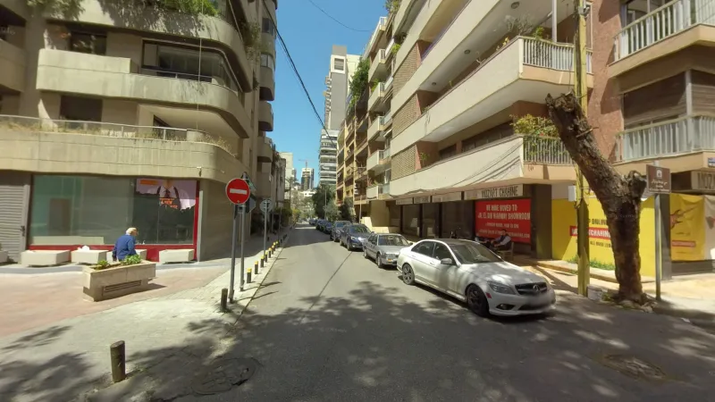
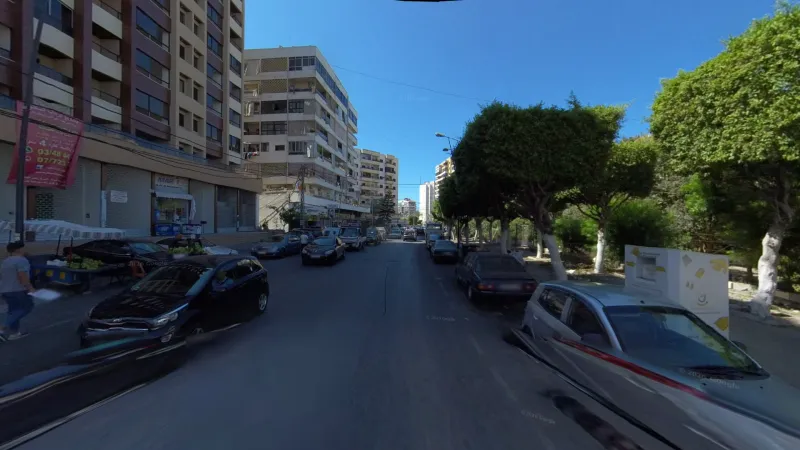
Beirut is the capital and largest city of Lebanon. On most rounds it is obvious when you are in Beirut due to the taller buildings, which the other cities lack. However, in more dense neighbourhoods, Beirut can be identified by the relatively higher use of English and French. West Beirut is predominantly Muslim, while East Beirut is largely Christian. While the south largely lacks coverage, the parts of southern Beirut that are covered are notably hillier and poorer.
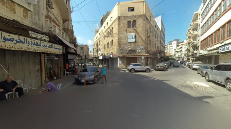
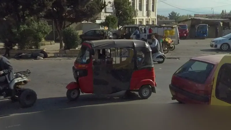
Tripoli is the only other large city in the country. You will not see mountains from Tripoli, although some parts of the city are hilly. It is generally older and more Islamic-looking, indicated by the conservative dress, lesser use of Latin script, narrower streets with smaller, more mercantile shops, etc… Tripoli also has tuk-tuks, which are not found in Beirut. The coastal parts of the city in Al-Mina are much more open and less built-up than the Beirut seaboard.
Sidon is the country’s third-largest city and can be hard to tell apart from Beirut and Tripoli. It is generally visibly smaller than Beirut, and more modern and greener than Tripoli. Sidon Sea Castle is a notable landmark on the seaboard. It is a predominantly Muslim city.
Zahlé is the main city in the Beqaa Valley, and the only Christian one. The prominent Lady of Zahlé statue, situated on top of a tower, is visible from most spots in the city.
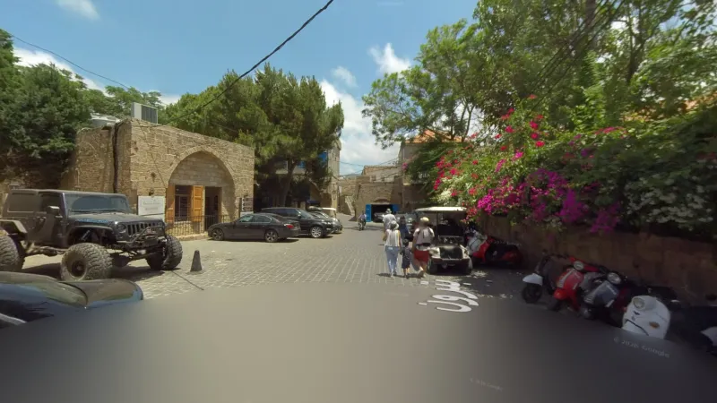
Batroun is the wealthiest town in Lebanon, and therefore much cleaner and better-kept than other Lebanese towns. It is also quite touristy. Note that while Byblos looks similar, its old town is pedestrian and covered by better-quality trekker footage, so there is nowhere with shitcam that really compares to Batroun.
Jounieh is a city just up the coast from Beirut. Unlike Beirut or other coastal cities, the mountains rise up very precipitously at this point, creating large imposing slopes visible from most points in the city.
Valleys
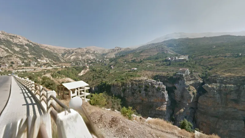
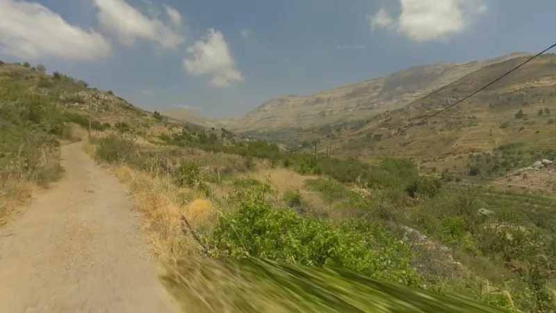
Wadi Qannoubine (around Bsharri) is the most dramatic valley in Lebanon. A deep canyon is often visible as well as rock formations in the surrounding mountains.
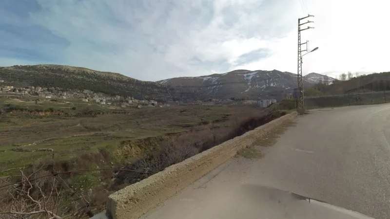
The Ehden valley is similar to Qannoubine in terms of altitude and orientation, but it is smaller and less dramatic, lacking the aforementioned features.
Wadi Tannourine is another high mountain valley, but it is drier and less developed than the valleys further north.
The valley around Laqlouq is unique within the mountains for its NE-SW orientation. It is also among the driest and has lower valley walls than the others.
The southernmost of the major valleys, Wadi Ibrahim is much more vast, with the valley walls appearing much further away.
Spotlight
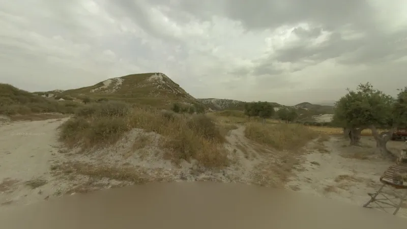
Just inland from Chekka in the North governorate you can find a lot of hilly, exposed white soil.
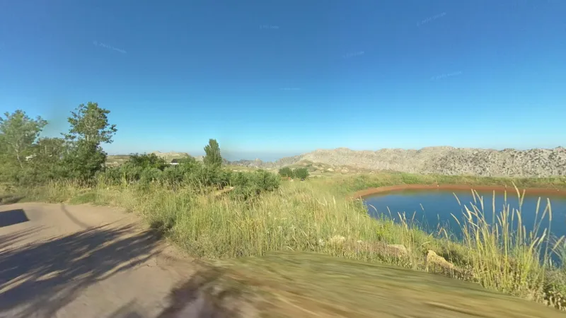
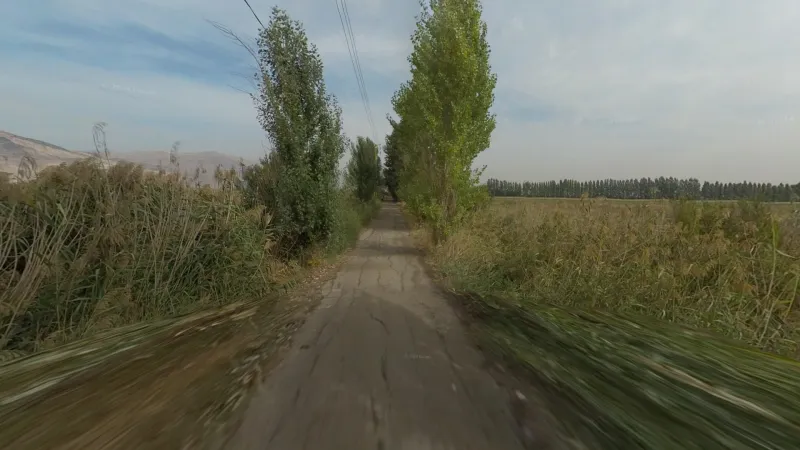
At the southern end of the part of the Bekaa valley that has coverage, around Tal el Akhdar, there is a large wetland with rows of poplar trees, uncultivated land and lots of reeds.
The Jaj Cedars Nature Reserve is home to many striking rock formations, which are significantly more exposed due to the high altitude.
The Kesrouane is home to the most barren segment of coverage in all of Lebanon, with the only road driven by Google that goes over the Mount Lebanon massif.
Vegetation
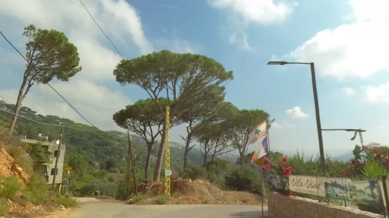
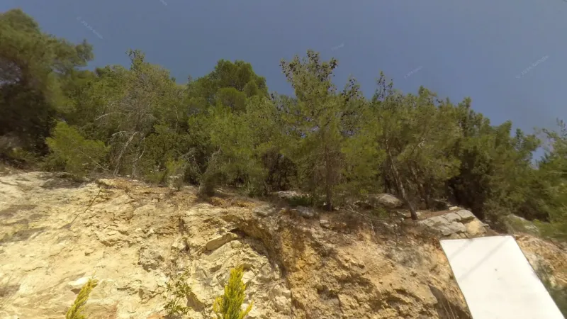
In the southern part of the Mount Lebanon area, just inland from Beirut, stone pines become the dominant tree species, with neater and wider crowns than other pine species.
Aleppo pines, with their lighter needles and very numerous pine cones, dominate certain parts of the inland north. They are also quite common in an area near Beirut, where they are often seen alongside stone pines.
Agriculture
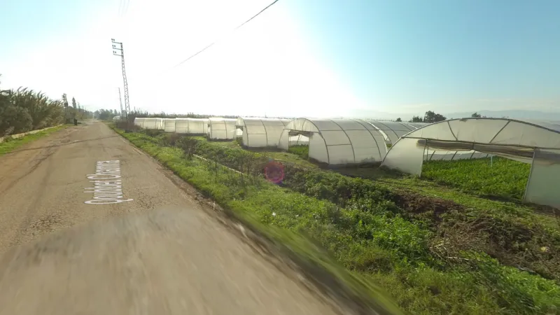
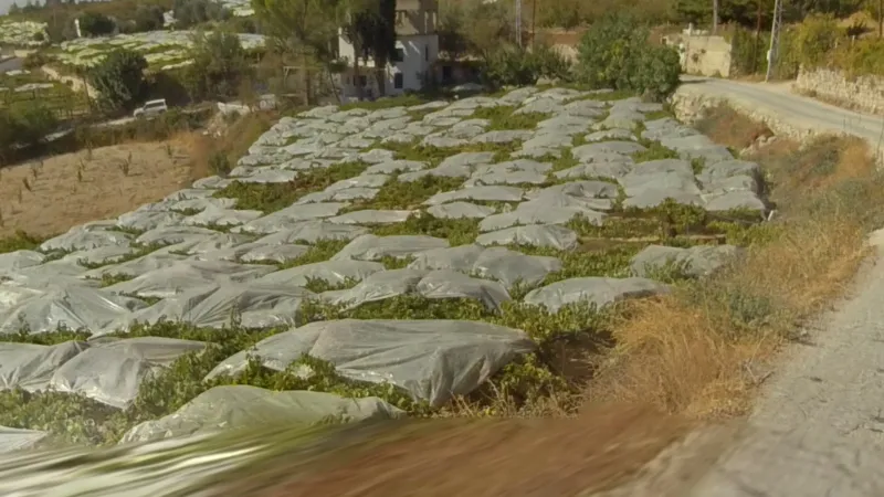
Greenhouses in Lebanon are mostly found in the far north in the coastal parts of Akkar governorate.
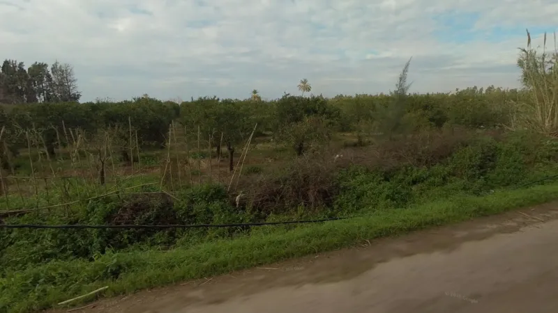
Citrus orchards can be found at the northern and southern extremes of the coverage area - in Akkar governorate in the same area as greenhouses, and in the southnear Sidon.
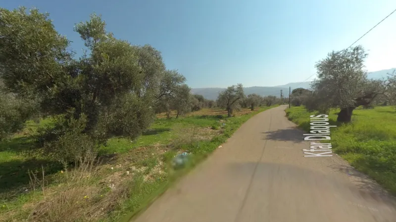
Olive production is most dense in the North governorate around Zgharta, with some production stretching further north into Akkar governorate.
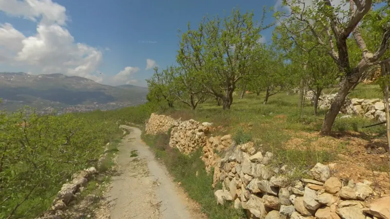
Fruit orchards cover much of the northernmost highlands around Qarsita, as well as several valleys including the Qannoubine, Tannourine and Lalouq valleys. They are also common on the eastern side of the Mount Lebanon range around Zahlé. The fruit in question are apples and cherries, closely related trees which are highly branched, with vertical top branches.
Vineyards in Lebanon are mostly found in the foothills near Zahlé. They are also found within the Beqaa Valley itself, notably towards the northern end of the coverage area.
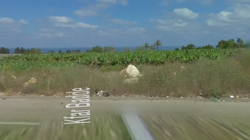
At the very southern tip of Lebanese coverage, in the section of the Sidon-Tyre highway near Aabbasiyeh, large banana plantations are visible by the side of the highway.
Infrastructure
Tuk-tuks are becoming increasingly common in Lebanon as a more affordable alternative to cars. They are most often found in the Beqaa Valley, and secondarily in Tripoli. You will not see tuk-tuks in Beirut or the Mount Lebanon governorate.
Culture & Linguistics
MILITIAS
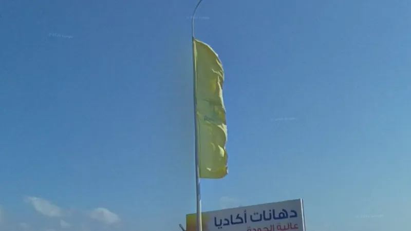
Hezbollah is a Shia militia, and the largest in Lebanon besides the army itself. Google mostly avoided driving in Hezbollah controlled areas, with the exception of the very southern tip of the covered area on the Sidon-Tyre highway, as well as parts of the Beqaa Valley. Here you will find the iconic yellow flag with a green logo and posters of Shia clerics with black turbans. Symbols and flags of the allied Amal Movement, also a Shia militia, can be seen in the same areas. There is also a small Shia enclave in the Mount Lebanon governorate, directly east of Byblos.
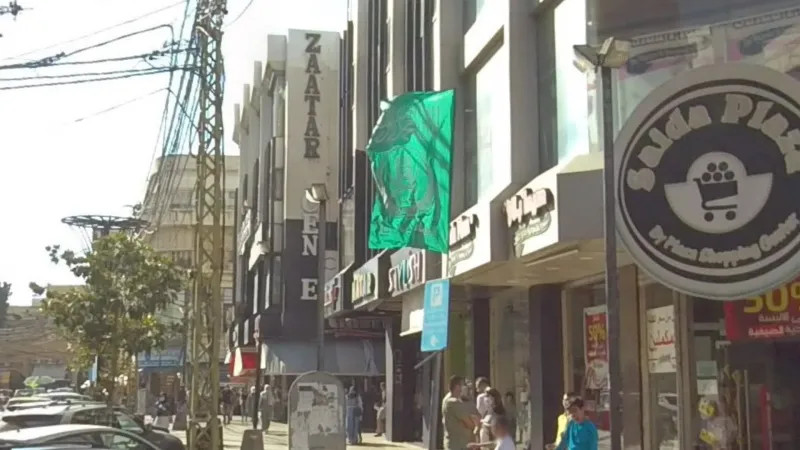
The Sunni Islamist group Jamaa Islamiya meanwhile controls the city of Sidon, where you’ll often see green shahada flags flying.
OTHER
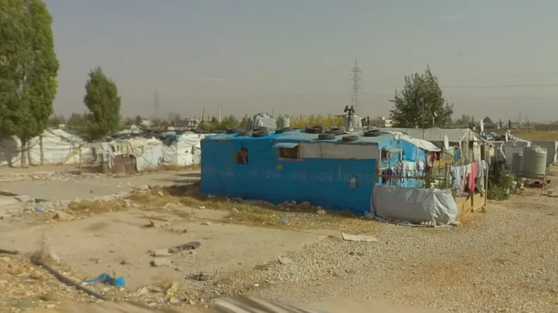
In the Beqaa Valley, particularly near Ksara, you will find large Syrian refugee camps with makeshift tents interspersed among normal buildings and agricultural fields.
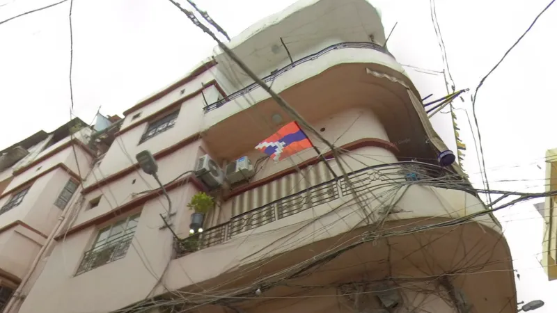
The Bourj Hammoud suburb of Beirut is particularly dense, although with smaller buildings than other parts of the city. It is the only majority-Armenian area, with Armenian flags often visible.